Palantir Results Presentation Deck
Q4 2020 BUSINESS UPDATE
.000
2021 PALANTIR TECHNOLOGIES INC.
22
Customer Updates ⁹3
/ Government
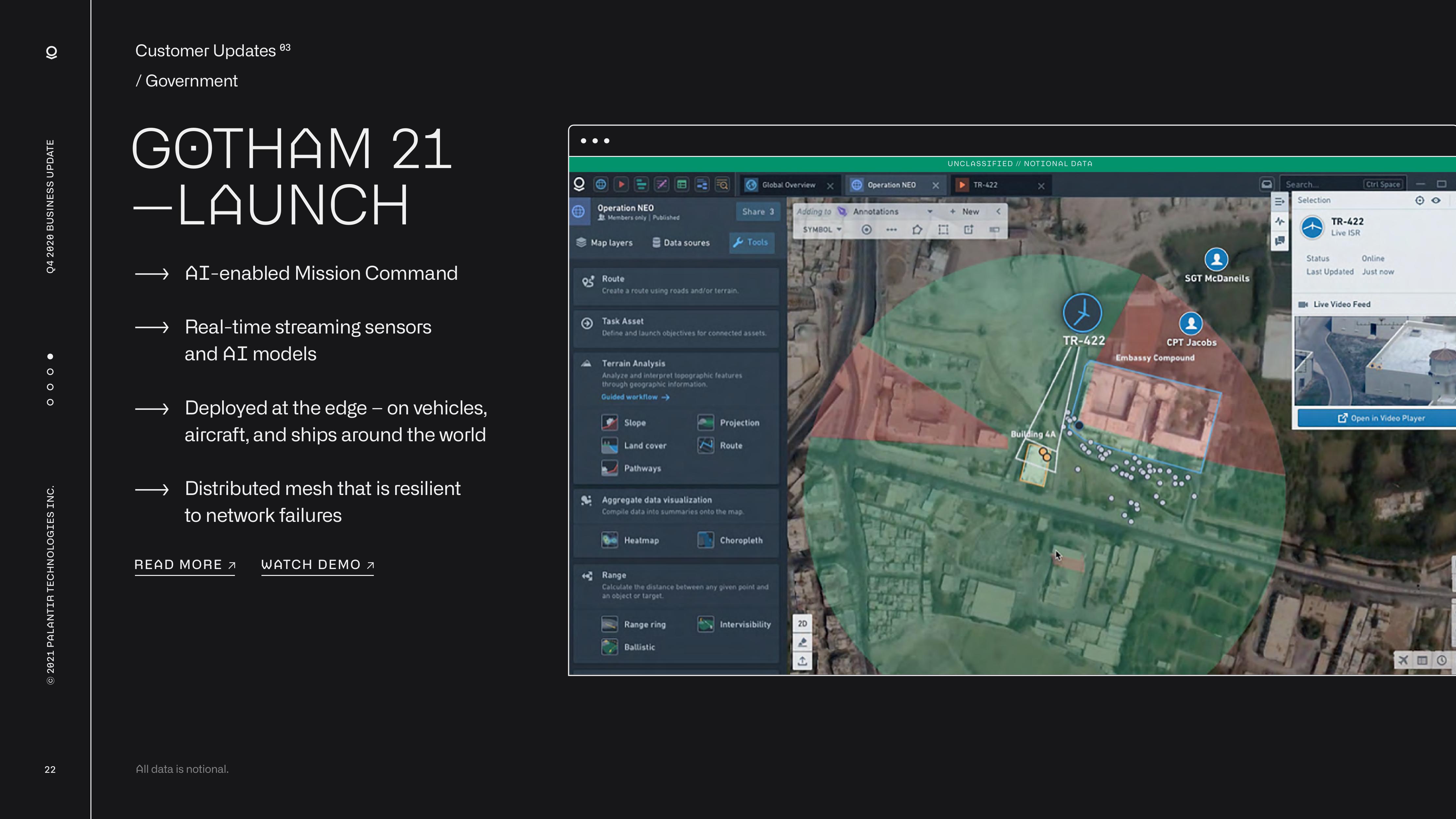
GOTHAM 21
-LAUNCH
AI-enabled Mission Command
Real-time streaming sensors
and AI models
Deployed at the edge - on vehicles,
aircraft, and ships around the world
Distributed mesh that is resilient
to network failures
READ MORE > WATCH DEMO >
All data is notional.
QO
Operation NEO
Members only | Published
Map layers
Data soures
Route
Create a route using roads and/or terrain.
A Terrain Analysis
Slope
Land cover
Pathways
Q
Task Asset
Define and launch objectives for connected assets.
Analyze and interpret topographic features
through geographic information.
Guided workflow->
Heatmap
Share 3
Range ring
Ballistic
Aggregate data visualization
Compile data into summaries onto the map.
Global Overview
Projection
Route
Tools
Range
Calculate the distance between any given point and
an object or target.
Choropleth
Intervisibility
Adding to
SYMBOL
20
↑
Operation NEO
Annotations
O
X
UNCLASSIFIED // NOTIONAL DATA
DI
TR-422
New
<
110
Building 4A
Q
TR-422
906
fo
SGT McDaneils
CPT Jacobs
Embassy Compound
O
Search.
E Selection
f
1
++
TR-422
Live ISR
Ctrl Space
Status
Online
Last Updated Just now
Live Video Feed
oo
Open in Video Player
XEOView entire presentation